From February 06 to 10, 2023, the Topography and Survey club of the National Advanced School of Public Works in partnership with the companies NGOMEZ ENGINEERING, MA-GEO and OGEC organized a GEOWEEK dedicated to the professions of Surveyors -Topographers and placed on the theme "Acquisition and processing of data by lasergrammetry and photogrammetry" within the NASPW Campus.
Program of the activities carried out:
- A conference on February 6, 2023 placed on the theme “Digital Imaging – BIM”
- Training workshops on: data acquisition from a static scanner (RTC 360), a dynamic scanner (BLK2 GO) and a drone (DJI Phamtom 4 pro V2.0); photogrammetric and lasergrammetric data processing using Argisoft metashape, Leica cyclone register 360 software; 3D modeling (of NASPW Building B)
- A closing ceremony with the delivery of certificates of completion.
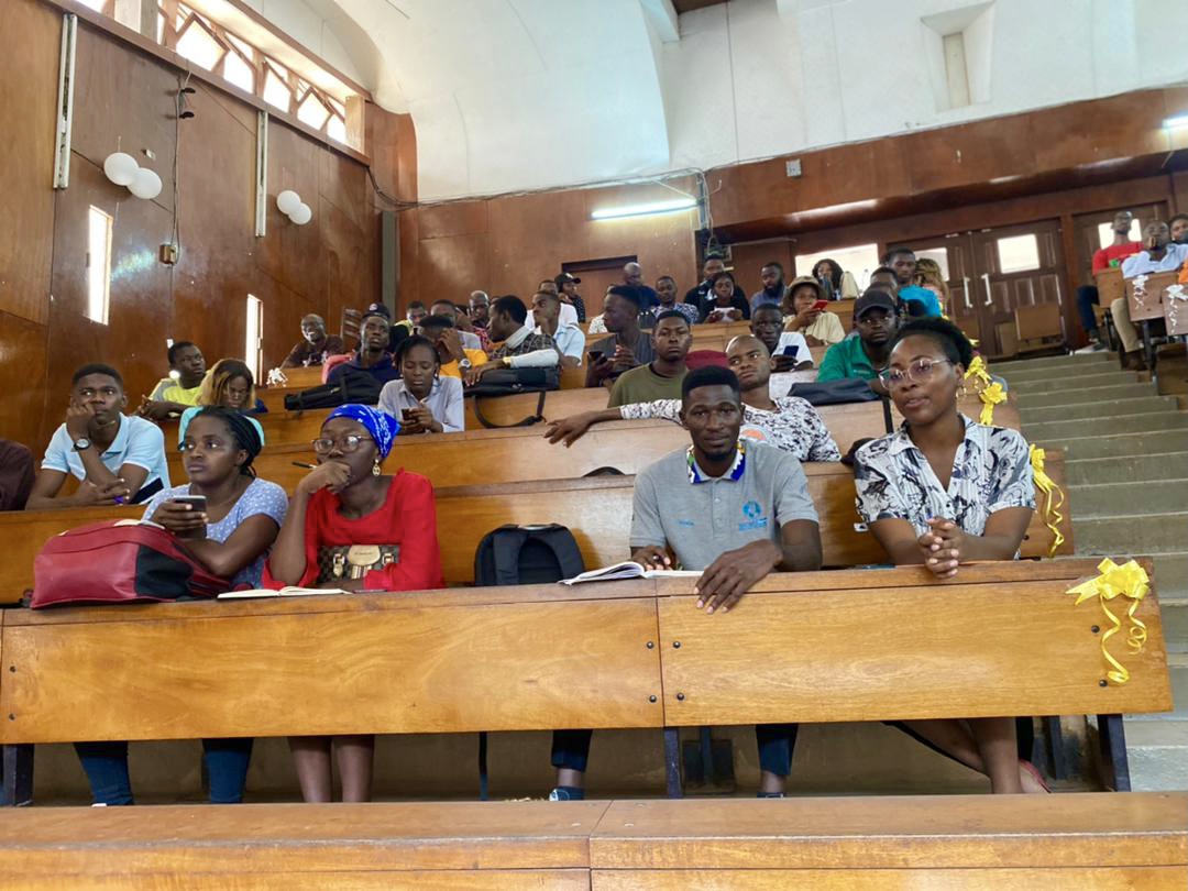
Some students during the conference
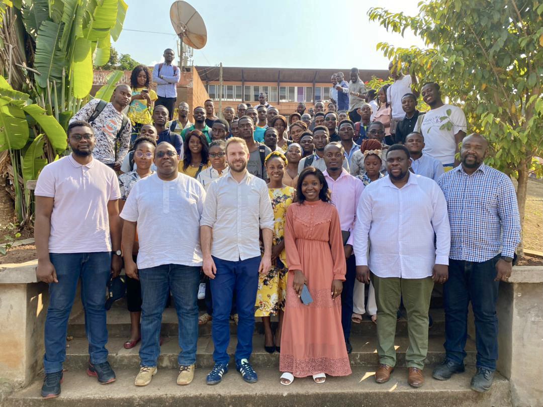
Family photo after the conference
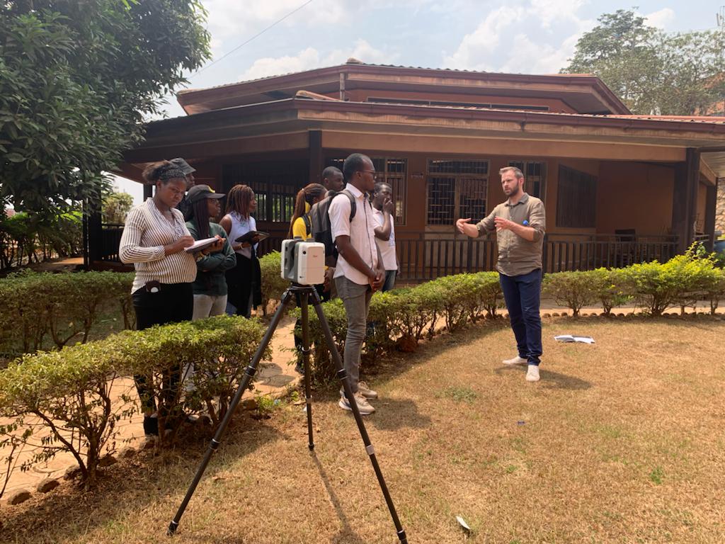
Practical work
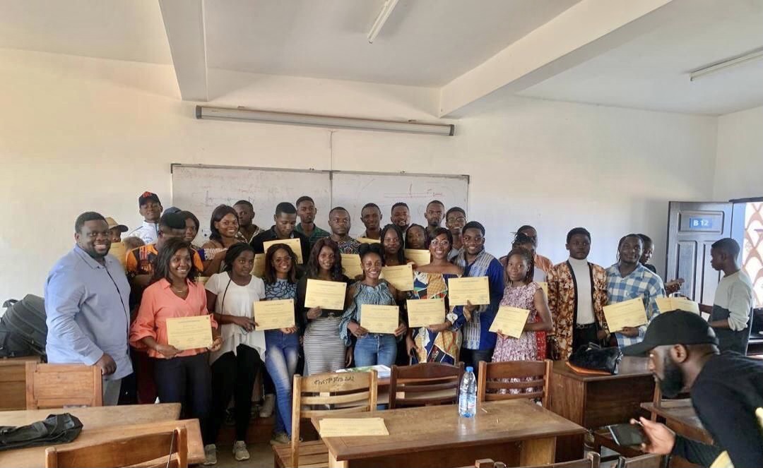
Delivery of training completion certificates
